Submara Insights: Digitizing the Seabed in the Deep
Through precision-controlled ROV technology, we have helped Sogn og Fjordane Energi to map the inaccessible.
To make the right decisions over water, you need the full picture below the surface. With advanced sensor technology, ROVs and 3D modelling, we remove the blind spots and provide builders and contractors with millimetre precision from the start.
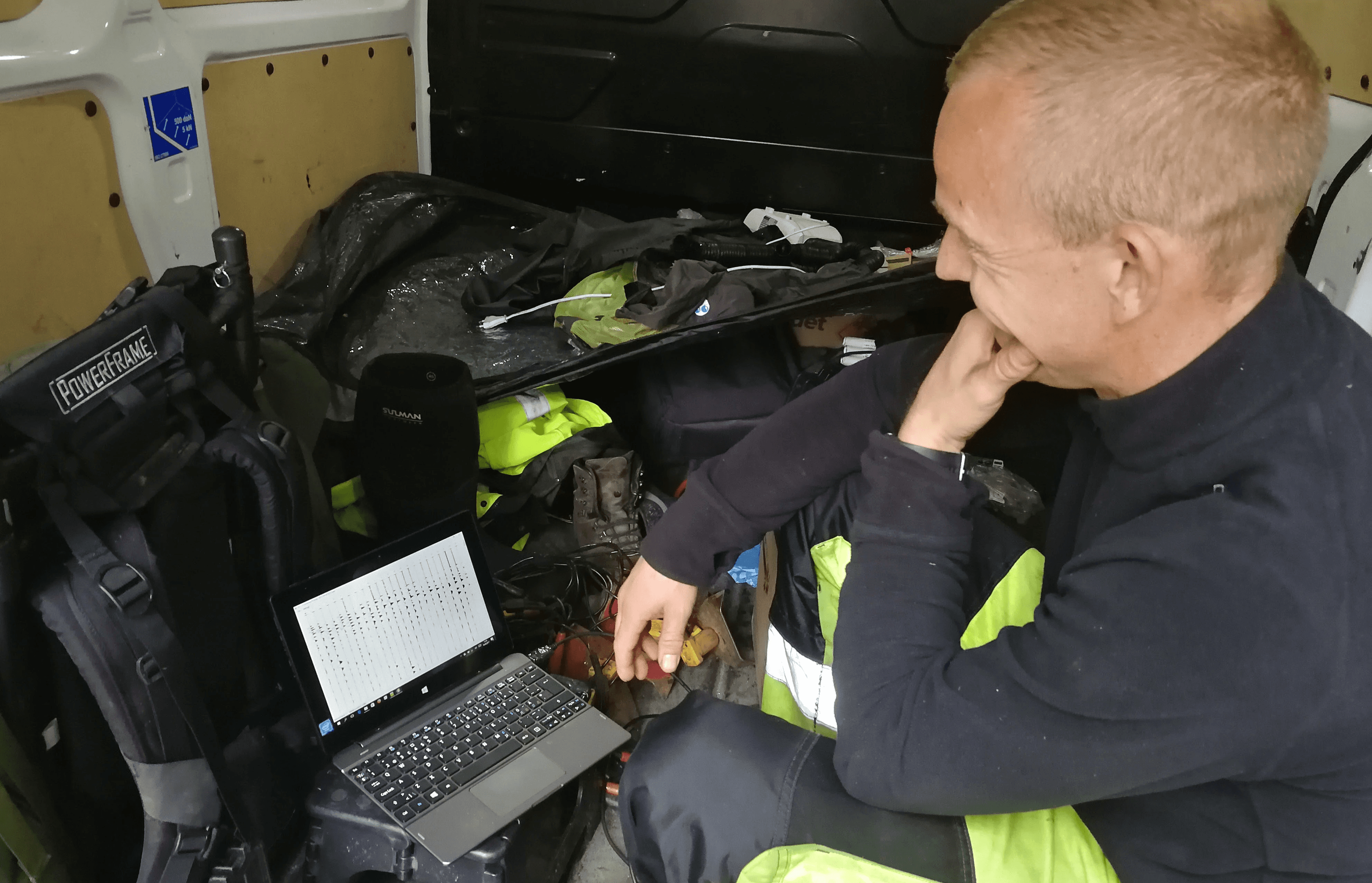
Building, operating or maintaining critical infrastructure underwater has traditionally been associated with high risks and high uncertainties. Insufficient data in the preparatory work can quickly lead to costly delays, errors in the tender basis and unforeseen events during the construction phase. Through the specialist unit Submara Survey We are changing this paradigm. We are making the seabed and hidden waterways digital.
From guesswork to exact science
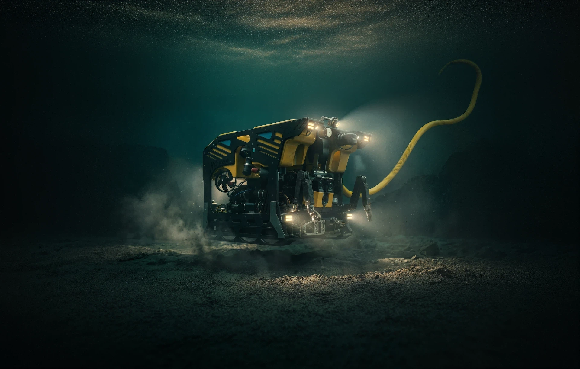
By combining multi-beam echo sounders, advanced sensor technology and true colour photogrammetry down to a depth of 4000 metres, we are building digital twins of the underwater environment. This means engineers, purchasers and project managers can inspect foundations, pipelines and tunnel walls directly from their desks—with exactly the same precision as if the structures were standing on dry land.
“We don't just provide video images of the seabed. We deliver decision-ready data that removes risk before the contractor has even mobilized.”
Multi-Disciplinary Insights
Submara combines datasets from several different methods to provide a complete picture of conditions. This is how we enable the transition from reactive firefighting to predictive maintenance on everything from port facilities to water-filled tunnels.
The value of digital underwater data:
- Risk reduction: Uncover discrepancies and challenges before the construction phase starts, providing a watertight tender basis.
- Predictive maintenance: Data-driven planning that dramatically reduces downtime and extends plant life.
- Eliminates HSE risk: The use of remote-controlled systems (ROV) and drones keeps personnel out of risk zones during demanding inspections.
- Complete Documentation: Traceable digital models and high-resolution data adapted to builder requirements and ESG reporting.
Conclusion
Future development and maintenance of critical infrastructure is data-driven. By digitising the seabed, we remove the assumptions, and replace them with exact science. With our multidisciplinary approach, you are not only handed complex raw data, but ready-made, analyzed decision bases from our subject matter experts.
We translate advanced sensor technology into concrete, operational advice you can safely build and budget for. The result for you as the client is drastically reduced risk, full budget predictability, optimized plant life and — as always — no limits underwater.
Relaterte innhold


Press and media inquiries
Tip us about technology or fieldwork. What topics would you like us to cover?

Karianne S. Bergerud
Operations Coordinator
"In an industry in constant change, sharing experiences is our most important tool. This is how we ensure we always stay ahead with technology and operational expertise."
Inquiry received
Thank you for contacting Submara.
We have registered your request, and the relevant specialist will contact you shortly.