Tunnel Scanning and Photogrammetry
Inspecting water-filled tunnels doesn't have to mean downtime or risk.

Inspection Without Dewatering
Inspecting water-filled tunnels doesn't have to mean downtime or risk. Our ROV-based solutions provide detailed insight into their condition, without dewatering and with reduced downtime.
We combine tunnel scanning, ROV mapping, and photogrammetry to give you a complete picture of what it actually looks like underwater.
What Can We Map?
Water-Filled Tunnels
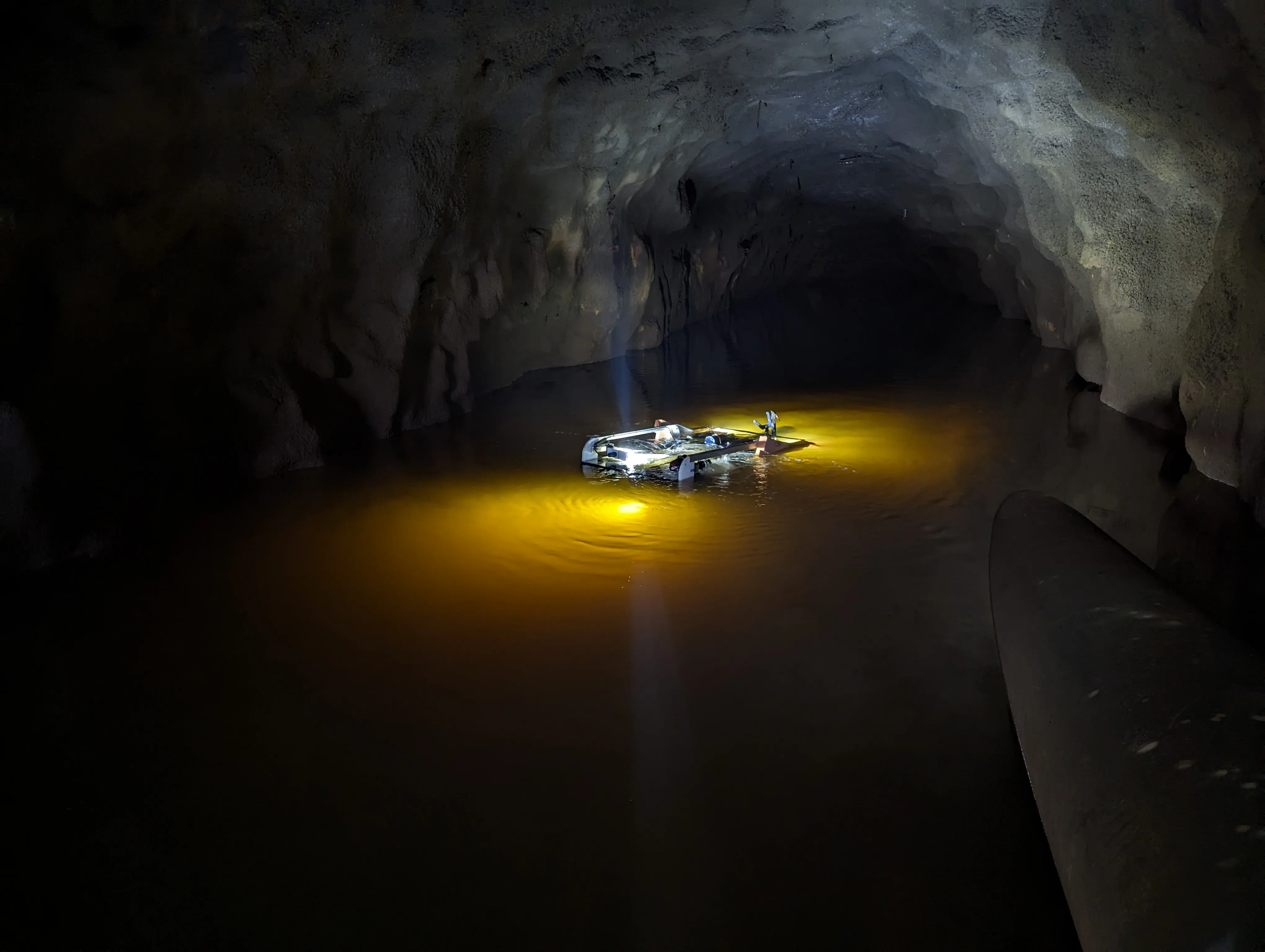
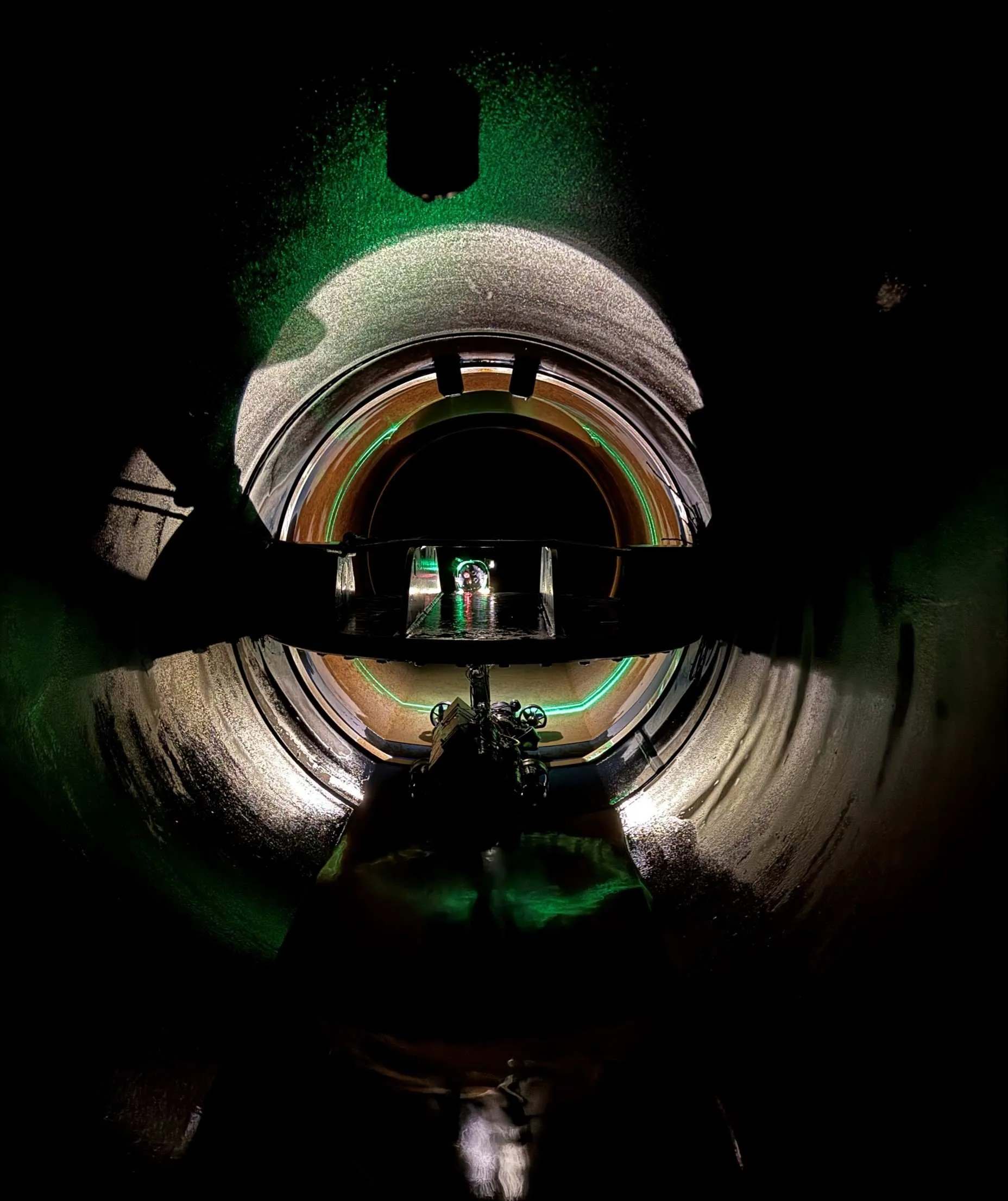
We map entire tunnel sections and provide detailed data on
- Cross-sections and Configuration
- Debris and Deformations
- Deposits and Blockages
Mapping can be carried out over long distances (up to several kilometers), with high precision and low impact on operations.
Underwater Structures and Objects
Do you need to check the condition of concrete, steel, or rock?
With ROV and photogrammetry, we can
- Detect damage, wear, and corrosion
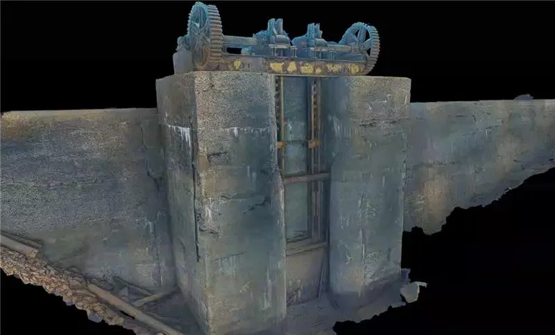
- Document condition visually and in 3D
- Assess the need for action
This often replaces the need for dewatering or diver inspection.
Bottom Conditions and Surroundings
We answer the questions you really have
- What does the bottom look like?
- Is the route suitable for cables or pipes?
- Are there any foreign objects or obstructions?
- What are the conditions around the structure?
This provides assurance before further work.
How we solve it
We use a flexible ROV platform that can be adapted to the task, whether you need simple inspection or advanced modeling.
Tunnel mapping
- Conducted without personnel in the water
- Speed up to approximately 1 km/h in stable conditions
- Result: point cloud, 3D models, and inspection data
This provides rapid control over long tunnel sections – with minimal downtime.
Underwater photogrammetry
Using advanced camera technology (e.g., dual-camera systems), we build detailed 3D models of objects.
You get
- High-resolution visual models
- Documentation that can be used for analysis and comparison over time
- Ability to inspect details without physical access
We combine technologies as needed
- Sonar + visual inspection
- ROV + photogrammetry
- Mapping + condition assessment
This gives you more value per operation, and a better basis for decision-making.
What you receive
Deliverables are tailored to your needs, and may include
For tunnels
- Point cloud and 3D model
- Cross-section and capacity analysis
- Inspection report
For structures
- High-resolution 3D models
- Photo and video documentation
- Condition assessment
For ROV inspection in general
- Visual documentation
- Report with recommendations
- Data in desired formats
What this offers you
- Full insight without production downtime
- Reduced need for risky operations
- Better basis for decisions before interventions
- Lower costs over time
You get answers to how it actually looks – not just assumptions.
Få direkte kontakt med våre lokale team
Vi er der prosjektet ditt er
Inquiry received
Thank you for contacting Submara.
We have registered your request, and the relevant specialist will contact you shortly.