Surveying
Precise and quality-assured surveying for critical infrastructure.
What questions we answer
What is the exact location of existing objects, routes, or property boundaries? What is the terrain profile – elevations, slopes, and any deviations from the projected level?
We provide surveying as a quality-assured service for projects with high demands for precision, documentation, and traceability. We operate according to established routines and are ISO-certified, which ensures structured execution, control, and verifiability at every stage.
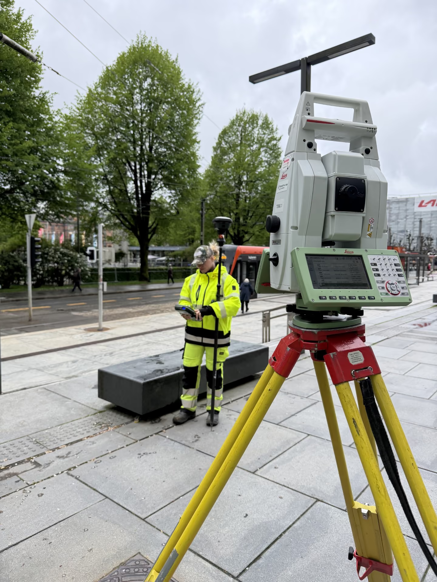
We collect, process, and verify measurement data using modern GNSS equipment, total stations, and digital workflows. The data is adapted for designers, contractors, and other decision-makers so that the same foundation can be used for design, setting out, production, and final documentation.
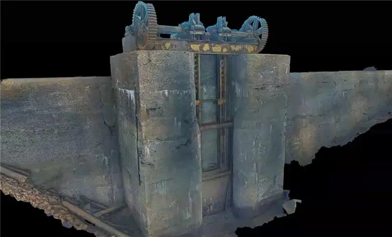
The result is reliable decision-making data that reduces risk, simplifies collaboration, and ensures quality in projects within transportation, energy, and other critical infrastructure.
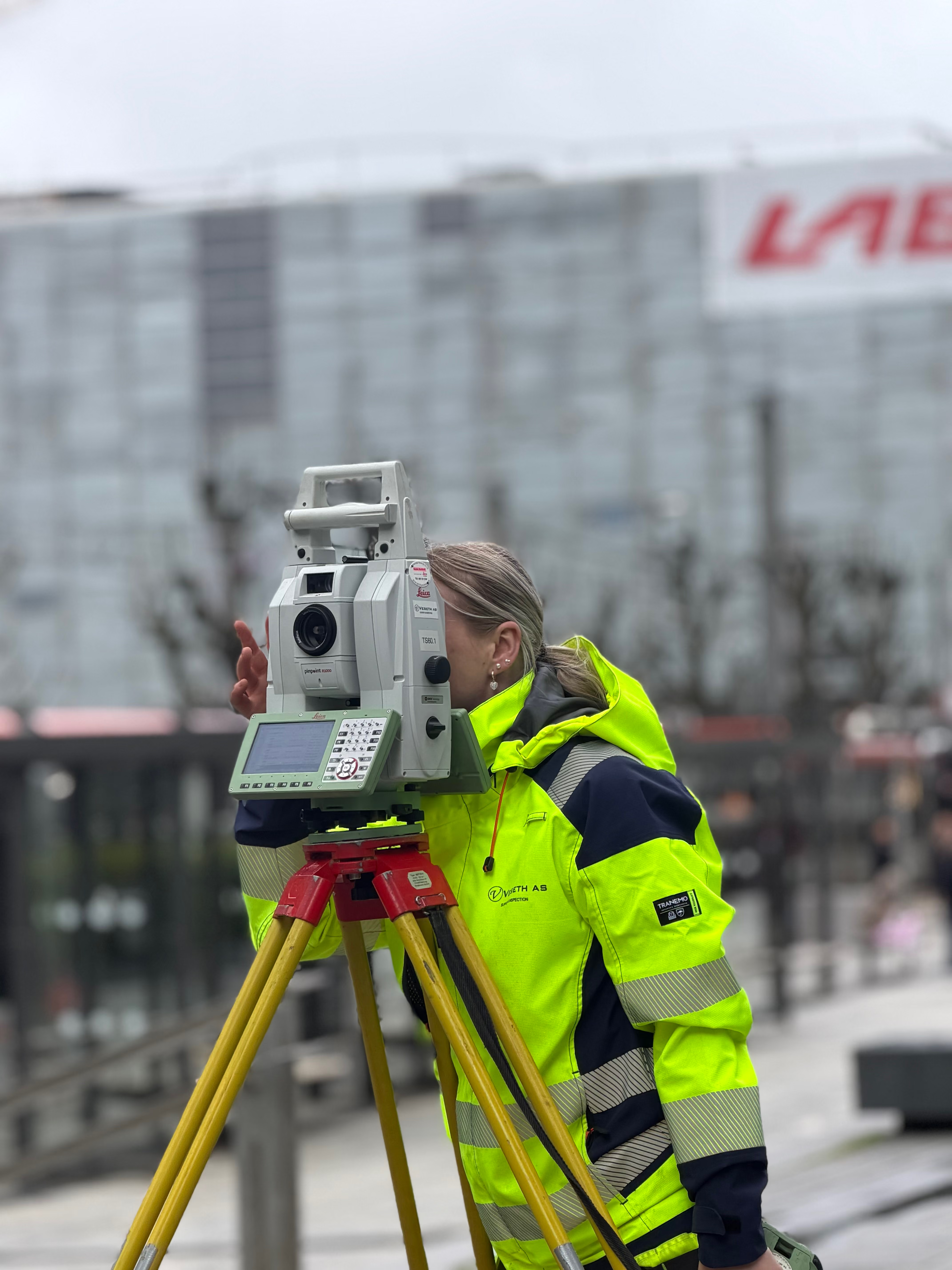
Surveying is often linked to projects where precise control of terrain, position, and execution is crucial for success. The service is particularly relevant in early phases, such as in the design of roads, railways, bridges, tunnels, and other technical infrastructure, where accurate data is necessary for sound decisions.
Furthermore, surveying is important in projects with strict requirements for accuracy, tolerances, and documentation, as well as where multiple stakeholders – such as designers, contractors, and clients – must work from the same updated foundation. During construction itself, surveying is used for execution control, quantity calculation, and quality assurance, ensuring that work follows the plan and deviations are detected early.
What you'll receive
- Quality-assured measurement and setting-out data
- Terrain and base models for design
- Control and deviation reports
- Quantity and volume data
- As-built documentation adapted to client and regulatory requirements
- Digital deliveries in relevant formats
Få direkte kontakt med våre lokale team

Vi er der prosjektet ditt er
Inquiry received
Thank you for contacting Submara.
We have registered your request, and the relevant specialist will contact you shortly.