Geophysics
Geophysical ground investigations provide reliable insight into ground conditions – from seabed to bedrock.
What questions we answer
What are the ground conditions, unconsolidated deposits, bedrock, and stratification in my project area?
How can I avoid costly surprises in the ground during construction?
We map conditions both underground and underwater by combining several survey methods which reveal structure, stratification, and weak zones. The data is collected, quality-assured, and compiled into a comprehensive picture of the ground, providing you with a clear and reliable basis for decision-making before you plan and build.
Geophysical Method Selection
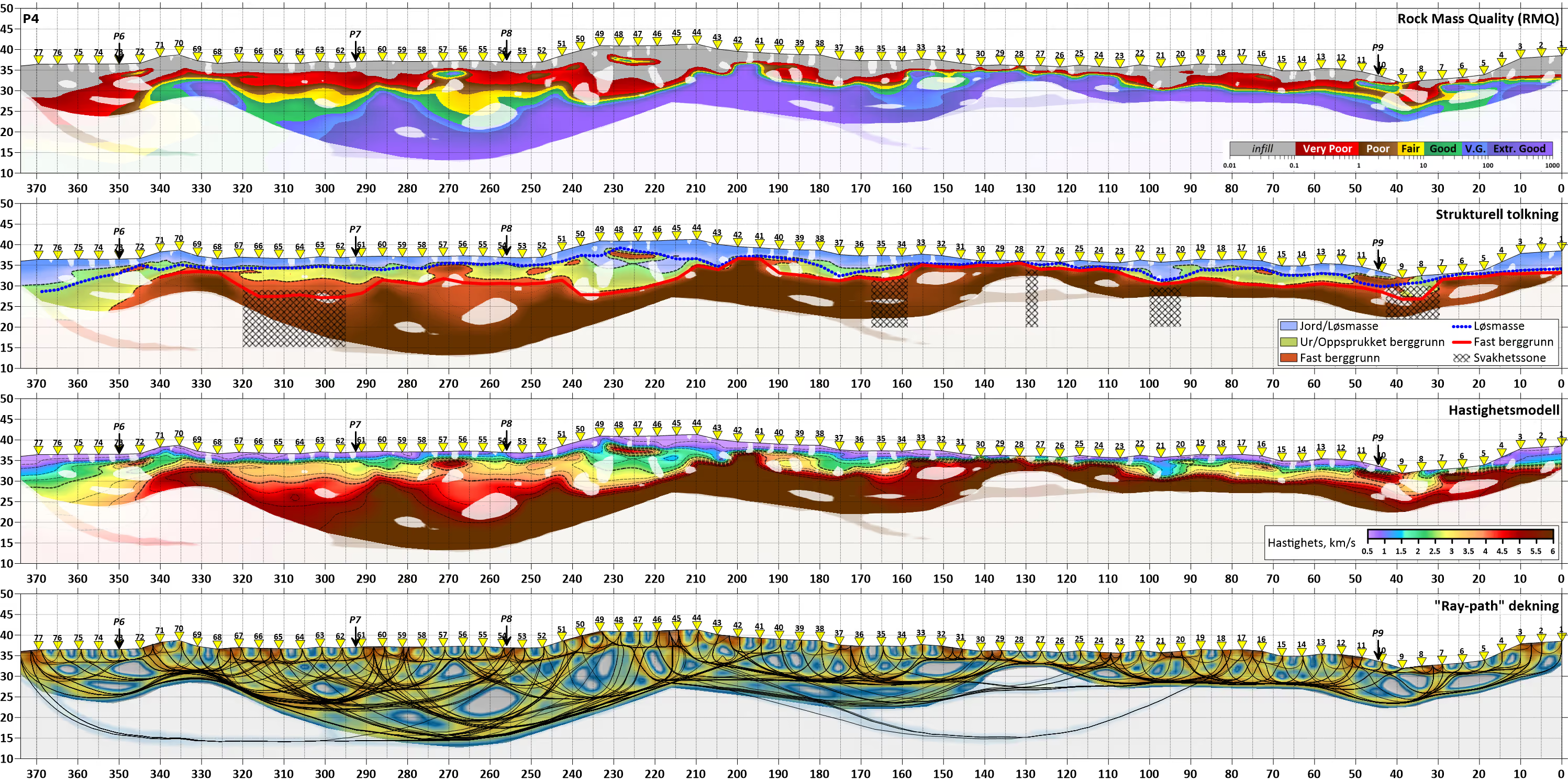
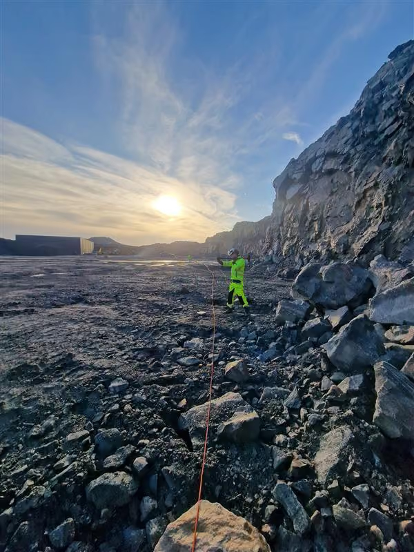
- Seismic Refraction maps bedrock depth and stratification in the ground. We measure how seismic waves travel through different materials to calculate velocities and depths. Provides robust cross-sections showing unconsolidated deposit thickness and bedrock surface.
You'll find out where the bedrock is located and where the ground is weak or variable.
- Seismic Reflection (boomer / sparker) provides detailed images of stratification beneath the seabed or terrain. The method uses acoustic signals that are reflected from different layers and structures. The data is processed into clear, high-resolution profiles. You'll find out how the layers are structured and where important interfaces are located.
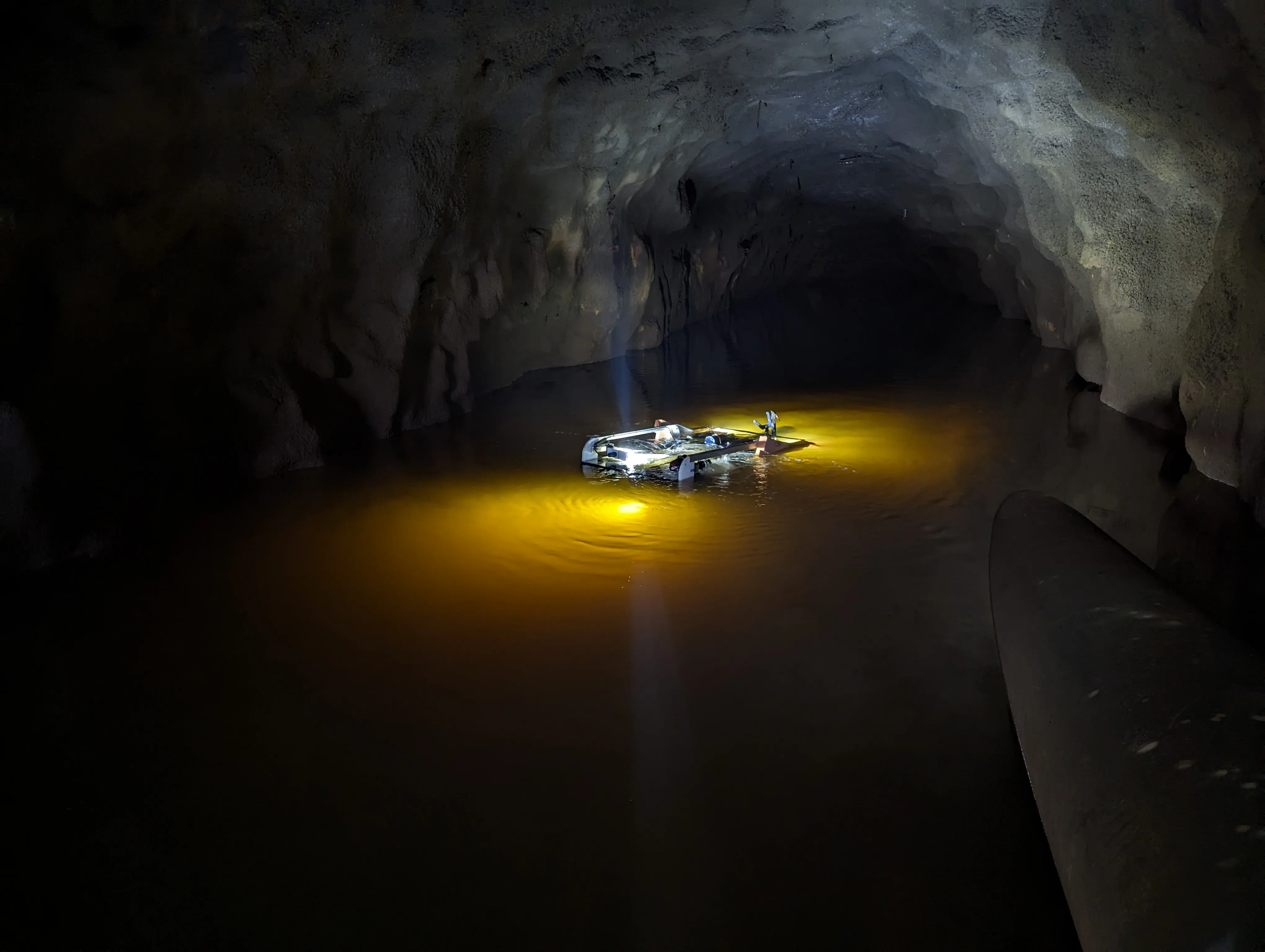
- Sub-bottom profiling (SBP) reveals structures beneath the seabed in high detail. Low-frequency signals penetrate the sediments, mapping layers and objects. Often used in conjunction with other methods for a comprehensive understanding. You get answers about what lies beneath the seabed and how deep the sediments extend.
- Ground Penetrating Radar (GPR) maps shallow layers and hidden objects quickly and non-invasively. Uses electromagnetic waves to reveal subsurface details. Well-suited for high-resolution mapping in the uppermost layers. You get answers about what lies in the ground where a high level of detail is crucial.
- Resistivity (ERT) reveals variations in material types and water content in the ground. The method measures electrical properties to identify layers and anomalies. Often used to locate weak zones and geological transitions. You get answers about where there is water, loose materials, or unpredictable conditions.
- Borehole Logging provides detailed insights directly within boreholes. We use optical or acoustic televiewers to map fractures and layers. The data provides high-resolution images and structural orientation. You get answers about fracture systems, structure, and rock quality.
- Seismic Tomography provides a detailed model of the subsurface between measurement points. Based on advanced inversion modeling of seismic data. Reveals changes in material and weak zones within the volume. You get answers about how ground properties vary between points and depths.
- Multi-channel / Single-channel seismics (MCS / SCS) maps the subsurface over larger areas with high resolution. Multiple receivers are used simultaneously to provide better data quality and depth. Adapted to project needs – from detailed mapping to regional overview. You get answers about continuous structures and variations across larger areas.
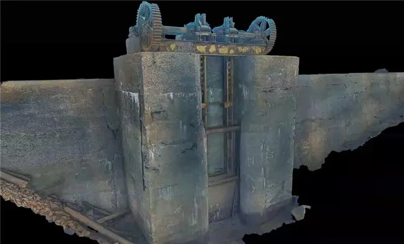
- Other Geophysical Methods We provide a wide range of geophysical surveys tailored to various project needs. This includes, among others, magnetometers, UXO detection, gravimetry, and other specialized methods where standard mapping is insufficient. These methods are often used in combination to uncover objects, risks, and structures that are otherwise difficult to identify. We always adapt our method selection based on the specific problem, environment, and requirements for resolution and penetration. You get answers about hidden objects, risks, and conditions requiring specialized mapping – before they become a problem.
What you'll receive
You receive a complete decision-making basis derived from the analysis of collected data – typically in the form of reports, interpretations, and visualizations describing ground conditions, stratification, and risk areas. This also includes structured datasets and models that can be used directly in further engineering and planning.
Få direkte kontakt med våre lokale team
Vi er der prosjektet ditt er
Inquiry received
Thank you for contacting Submara.
We have registered your request, and the relevant specialist will contact you shortly.