Drone Mapping
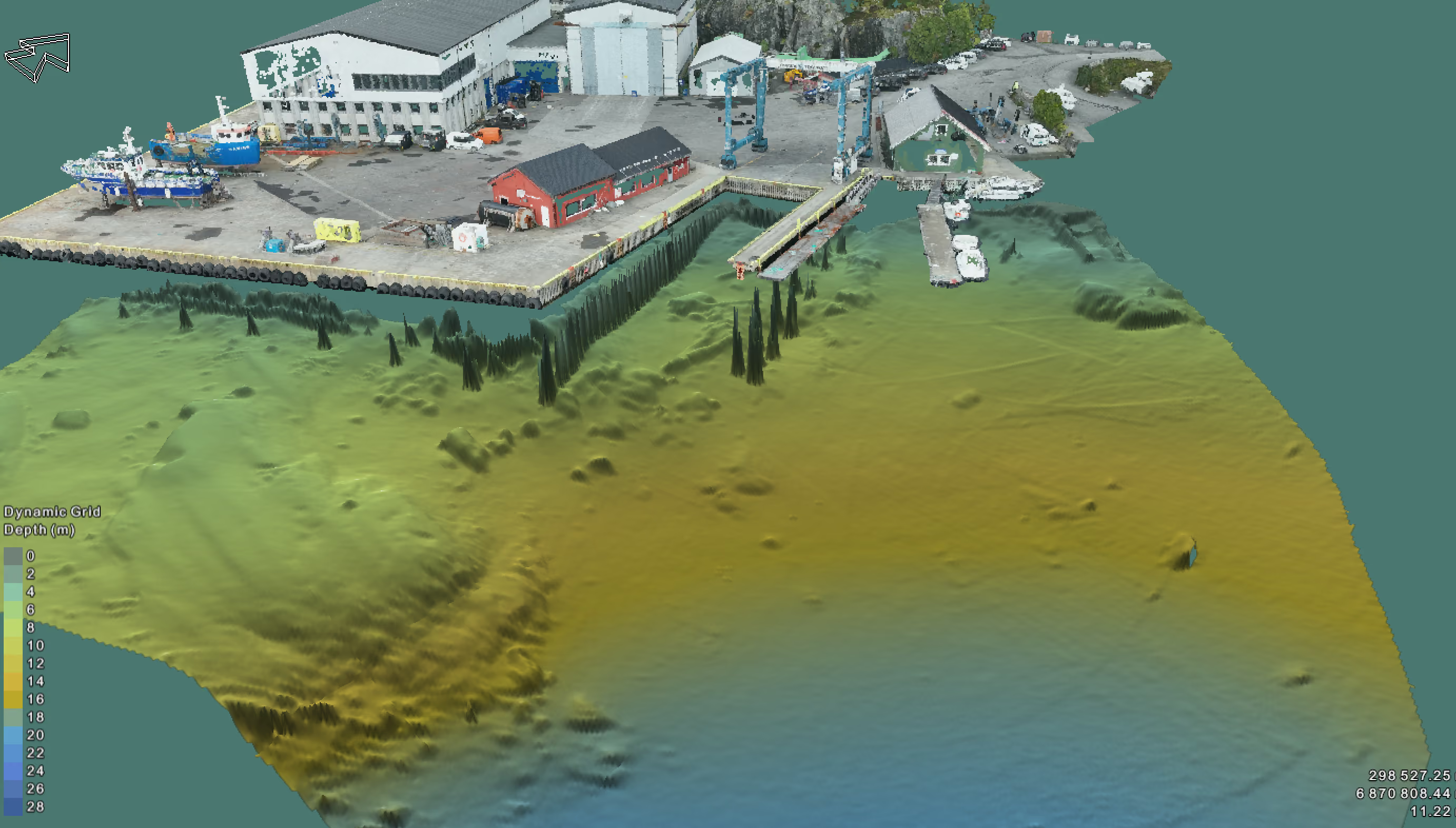
Drone mapping provides a quick overview of large and inaccessible areas.
What questions we answer
What does the area look like today – with updated and detailed data? How much material has been moved, or needs to be moved?
How is the project developing over time? Is the work performed in accordance with the planned solution? How do we document status in a simple and visual way?
We conduct drone mapping tailored to the project's size, accuracy requirements, and delivery format. The mapping is planned for optimal coverage and quality, and is carried out efficiently even in challenging or inaccessible terrain.
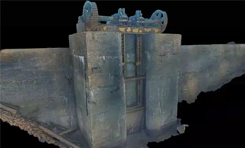
Image data is processed into georeferenced orthophotos, point clouds and terrain models which provide a comprehensive and detailed picture of the area. Deliverables are adapted for further use in planning, quantity surveying, inspection and documentation.
The result is an updated and easily accessible data foundation that provides better decisions, efficient progress, and good project control.
Drone mapping is used when there is a need for a quick overview of larger areas, in the early stages for planning and design. Drones can also be used during construction for progress monitoring and documentation, in addition to volume calculation and volume tracking. In areas that are difficult to access or challenging to measure traditionally, and when visual documentation is needed for the client or other stakeholders, drone mapping is fast and efficient.
What you'll receive
- Orthophoto
- Colored point cloud
- Terrain and surface model
- Volume and mass calculations
- 3D models for design and visualization
- Documentation of progress and status
- Digital deliverables tailored to the project's needs
Få direkte kontakt med våre lokale team

Vi er der prosjektet ditt er
Inquiry received
Thank you for contacting Submara.
We have registered your request, and the relevant specialist will contact you shortly.