Seabed Mapping
Make the seabed visible. What's actually on the bottom? Autonomous USV solutions provide quick answers.

What questions we answer
What does the seabed look like in my project area? What is the seabed composed of – rock, clay, sand, or loose sediments? How deep is it, and how does the bottom topography vary?
Are there obstacles, erosion, or unstable areas on the seabed? Is the area suitable for cables, pipelines, quays, or other subsea infrastructure?
How thick are the sediment layers beneath the seabed? How can I plan the project more safely and cost-effectively?
Are there changes on the seabed compared to previous measurements?
With autonomous surface vessels (USV) that can be transported nationwide, we perform efficient and high-resolution mapping of seabeds and lakes. The solution offers rapid mobilization, high availability, and detailed collection of
bathymetric data – from shallow coastal zones to greater depths. The result is precise 3D seabed models which provide a solid basis for decision-making for planning, engineering and documentation.
The service is used when there is a need for precise insights into the conditions on the seabed, whether it concerns the development of new infrastructure or the assessment of existing solutions.
Mapping is particularly relevant in projects related to the establishment of cables, pipelines, and landfalls, where precise data on seabed conditions are crucial for safe and cost-effective installation. It also plays a central role in the design of quays and other marine infrastructure, where knowledge of ground conditions sets the premises for dimensioning and choice of solution.
For dredging, backfilling, and construction work at sea, seabed mapping provides the necessary basis for decision-making in planning and execution. Additionally, the method is used for volume calculation and capacity measurement in power reservoirs and lakes, as well as for mapping sediment thicknesses and assessing ground conditions.
Seabed mapping is also important in environmental work, where it is used for environmental mapping and monitoring of erosion or changes over time. This provides a solid basis for documenting the state and development of marine environments.
For projects requiring rapid mobilization and high-resolution data from the seabed, modern mapping technology is an effective tool that ensures precise and reliable information – when it's needed.
What you'll receive
- Report with verification documentation
- Map data in PDF and DWG format
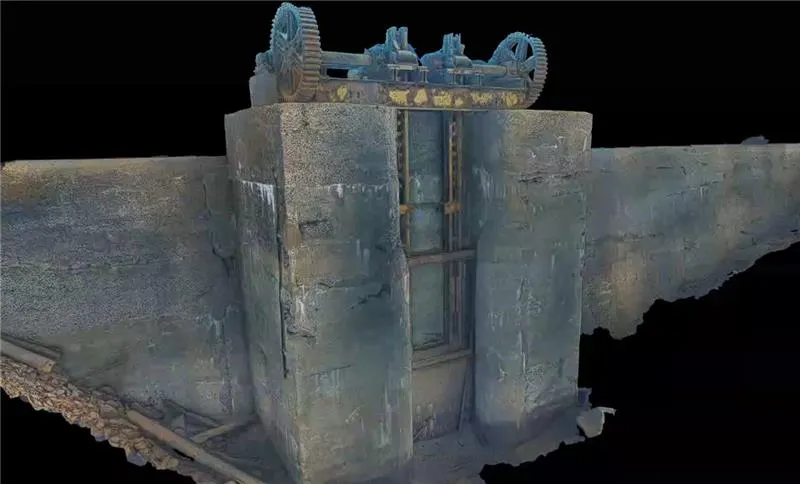
- 3D Model in dwg/xml format - Point cloud in LAS/xyz format.
- Drawings, profiles, route proposals, object list.
- Consolidated project in e.g. Navimodel with all available data and 3D models
Få direkte kontakt med våre lokale team
Vi er der prosjektet ditt er
Inquiry received
Thank you for contacting Submara.
We have registered your request, and the relevant specialist will contact you shortly.