Mapping and preliminary investigations
We survey water and wastewater infrastructure and seabed conditions to provide a reliable basis for decision-making before design and implementation.

What questions we answer
Can we lay the pipeline here? What are the conditions on the seabed? Are there any obstacles or risks along the route?
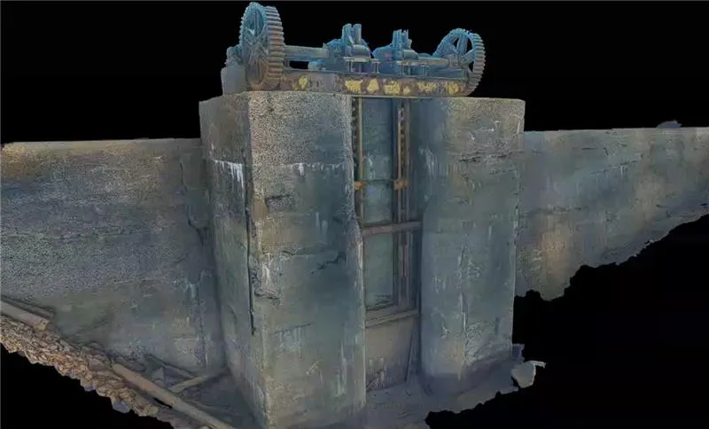
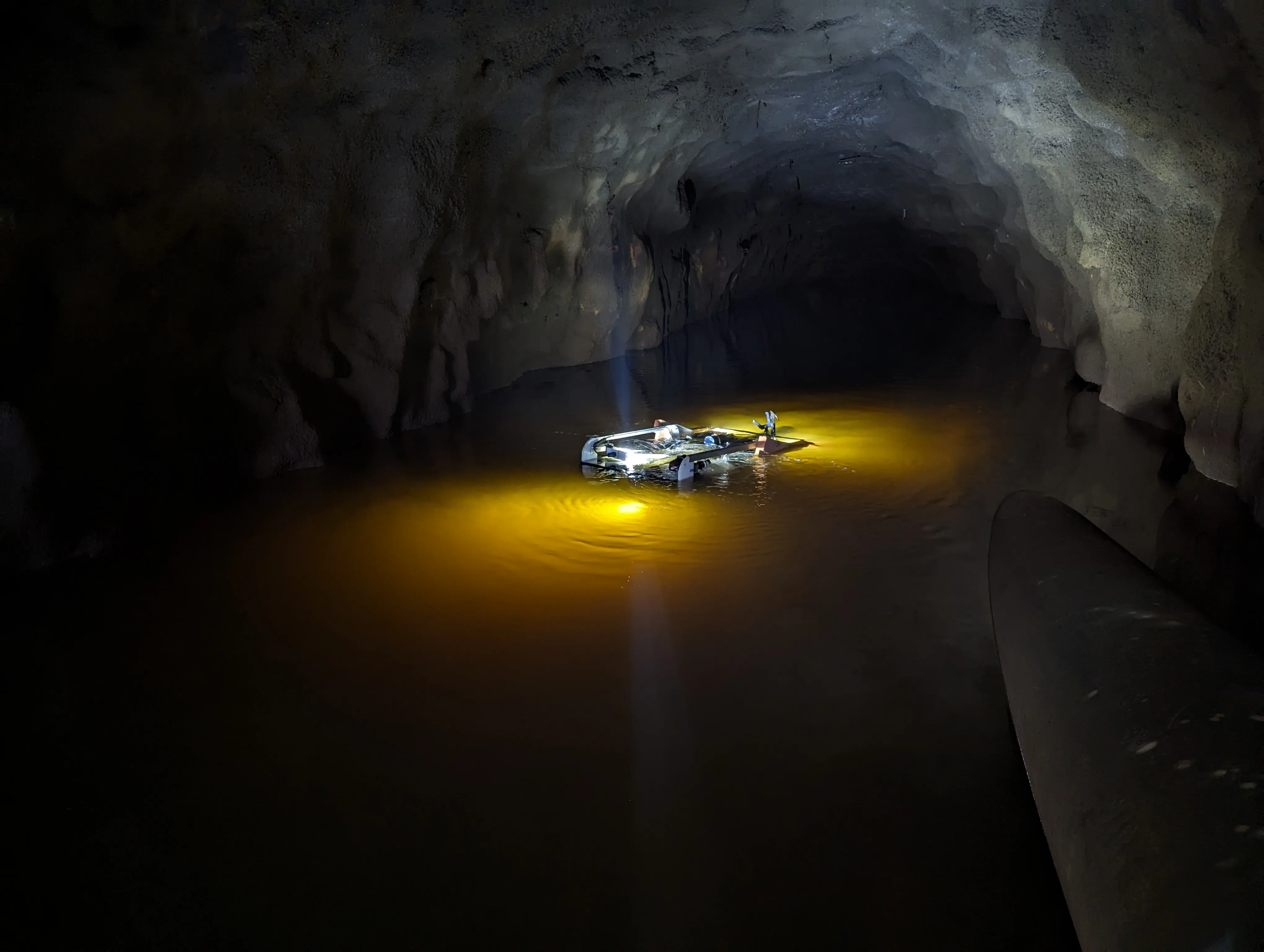
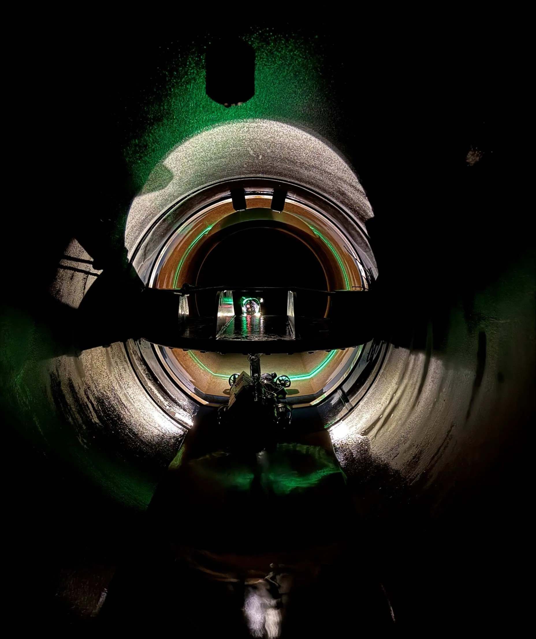
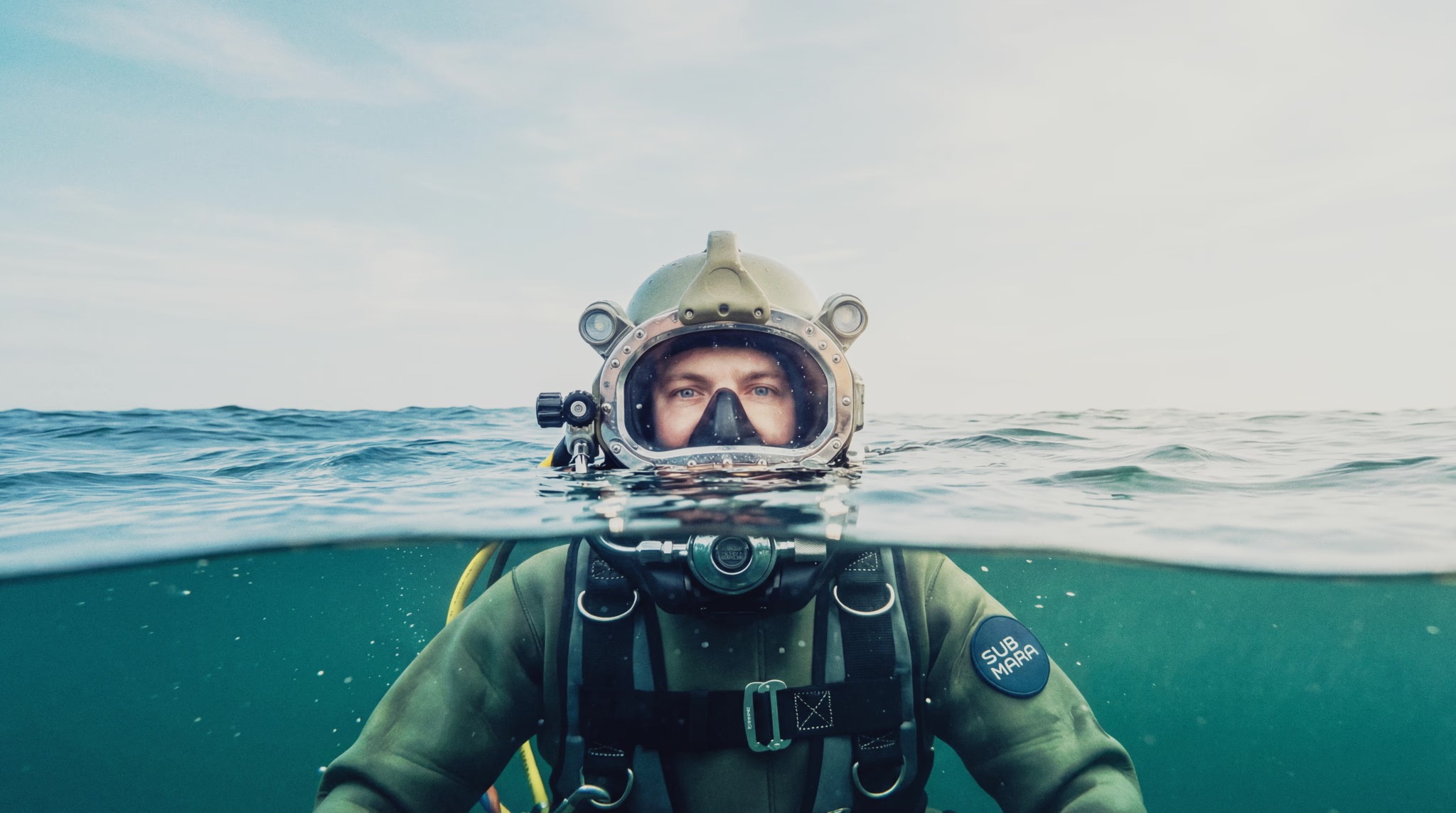
We conduct thorough surveys of the seabed and existing water and wastewater infrastructure using methods such as multibeam echosounder, diving and ROV. This provides a detailed picture of the terrain, obstacles, and ground conditions.
The result is a fact-based starting point for design, which reduces risk and ensures correct choices early in the process.
Surveys and preliminary investigations are used when a client is unsure whether a submarine pipeline can be laid and what the seabed looks like. By utilizing this, the design will be more precise.
What you'll receive
- Survey data and documentation
- Description of route and ground conditions
- Basis for further engineering design
Få direkte kontakt med våre lokale team
Vi er der prosjektet ditt er
Inquiry received
Thank you for contacting Submara.
We have registered your request, and the relevant specialist will contact you shortly.